

Micro Pulse Lidar(MPL) mixing layer height
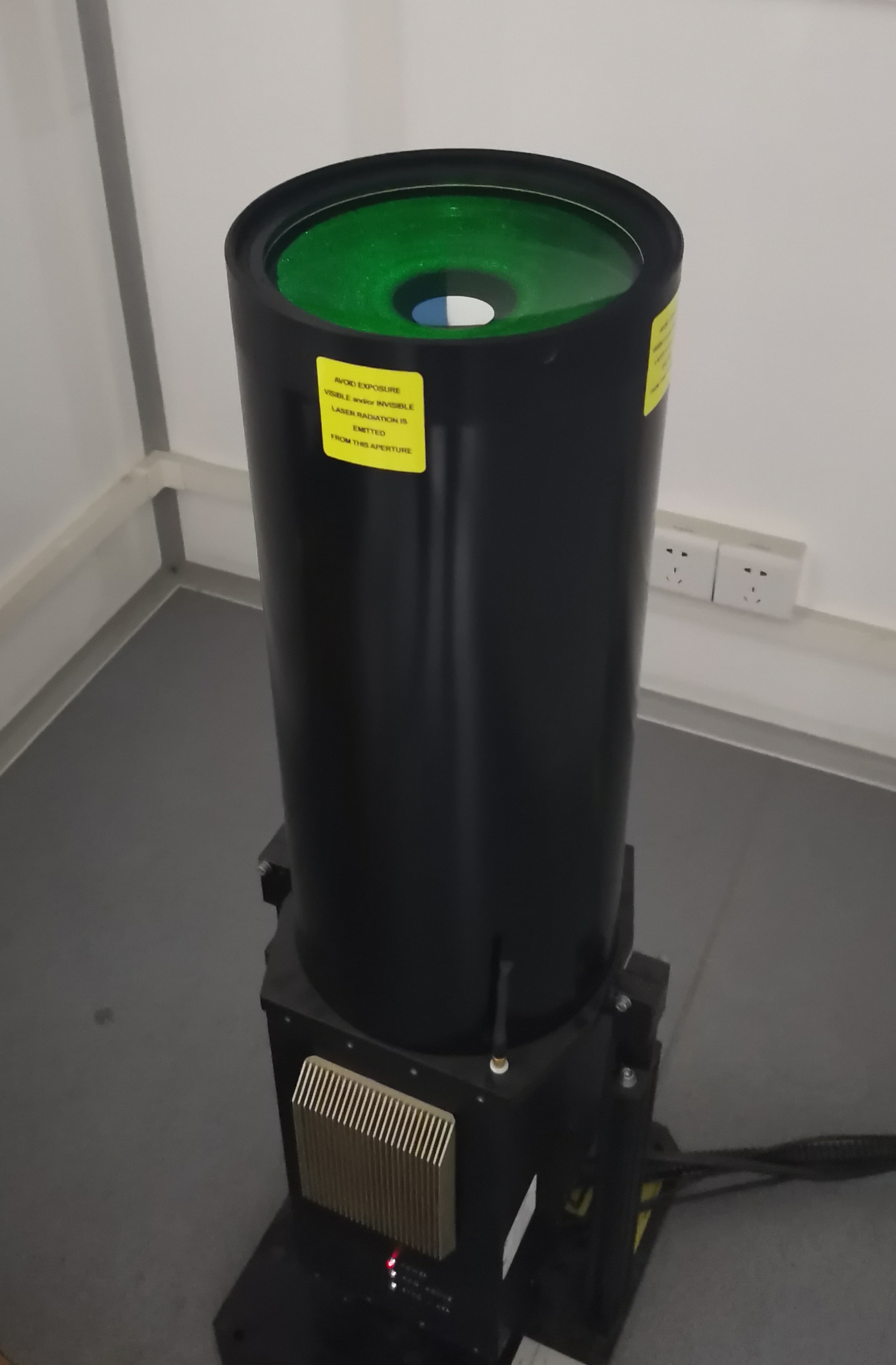
The MPL used in this research is located on the roof of the physics building (20 m above the ground) of Peking University in Beijing (39.99°N, 116.31°E). The LIDAR has a vertical resolution of 15 m and a temporal resolution of 15 s. The blind zone is 150 m above the LIDAR.
This method retrieves daytime PBLH based on the criterion of the maximum of logarithmic signal gradient. The Gaussian filter is applied to smooth the vertical profile of LIDAR signals. The gradient profile is produced with a wavelet dilation of 60 m. Assuming that aerosols in the PBL are well mixed, the returned signal will generally keep decreasing with height. However, the possible existence of cloud or elevated aerosol layers above the PBL will lead to a significant increase of this signal. This type of increase is monitored as a significant peak in the wavelet gradient profile. Therefore, the first significant peak (if exists) in the gradient profile is considered as the upper limit for searching the PBL top, in order to exclude the misidentification due to elevated aerosol layers or cloud above the PBL. Then, the height of the deepest valley of the gradient profile below this limit is considered as the PBLH. Note that the seasonal variability of PBLH is accounted in this process because the height of clouds and/or elevated aerosol layers also varies with season.
Author:Chengcai Li
Contact:ccli@pku.edu.cn
Team Link:https://faculty.pku.edu.cn/lichengcai/
References:Chu, Y. et al. Seasonal and diurnal variability of planetary boundary layer height in Beijing: Intercomparison between MPL and WRF results. Atmos. Res. 227, 1–13 (2019). https://linkinghub.elsevier.com/retrieve/pii/S0169809518308457
